Kook-a-mon-ga and the Big Tree Road
The biggest problem with the internet is that it, daily, reminds you of all the exotic places that you are not riding. In order to add a little exoticism into the weekend, and because I had been thinking about riding there anyway, I headed up to Cucamonga Canyon and the Big Trees Road. Was it a kooky idea? It has been years since last I voluntarily put my legs through that torture and... good gawd, if you hear me talking about riding it at any time over the next few years please, please talk me out of it. That is a bitter, hurtful road. In more ways than one.

ok, let's go


a lot of people go this far, not many go further


Since I have always turned down into the (still closed - until April 2021) canyon at the West Cucamonga Canyon Truck Trail / Big Trees Road junction, I really did not know what to expect beyond the third gate. I did know that the road leading up to that gate, with its stretches of 20% grade, were well beyond the Hakkalugi's gearing and comfort zone. I would be making this trip on the mtb, and even that would be insufficient once road became trail. The combination of steep gradient and loose surface put me on my feet for much more of the traverse than I would have liked.
I set out with some vague hope that I could reach the crossing of Deer Canyon, but the late start and unanticipated foot parade sealed the fate of that idea. The dream faded pretty early, and was laid to final rest in the first set of switchbacks, and with the big switchbacks still appearing to be a long way off. By then the blisters on my feet (mountain bike shoes are just no good when it comes to extended periods of hike-a-bike) as well as the blood-sucking flies were having a seriously negative impact on my sanity. That was a bummer, because quite frankly, it is spectacular up there right now - so many wildflowers, great expanses of blooming buckwheat, berries (probably inedible if not downright poisonous) cascading from head-high shrubs, and bees and butterflies galore. The bees seemed intent on their work, while the butterflies were much more hospitable, and on many occasions flew escort, one on each side, and sometimes two in front, as I moved along.
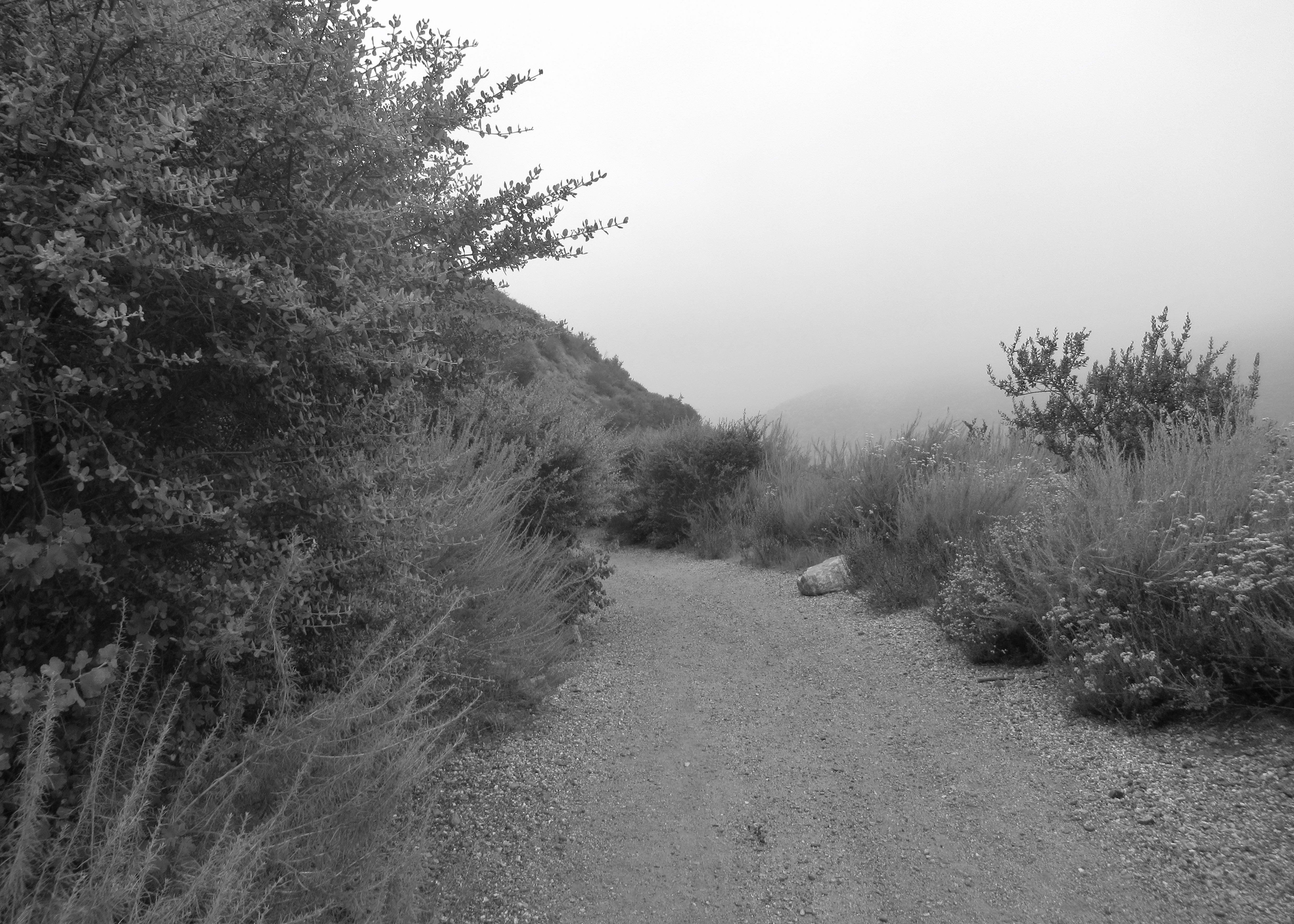
The morning fog still smothered the valley as I rode off from the remote start point at the Maloof House and Gardens, and even after riding into the canyons, it obscured the peaks and blew in rapid gusts over the ridges. Eventually, though, that heaviness melted before the sun and the sky cleared to reveal those expansive views we come to expect when we venture into the high places of the world.

onward and upward...

and upward and onward.


decided to break up the climb by taking this short spur road to the top of yon hill - I swear, if it was anything it was 30% (and unrideable)

fog blowing over the ridge

I was all set to declare this most definitely not a gravel ride, but then this happened.


trail runners on the West Cucamonga Truck Trail

the third gate, beyond which...

the road becomes trail

ever onward, ever upward


West Cucamonga Truck Trail


red berries...
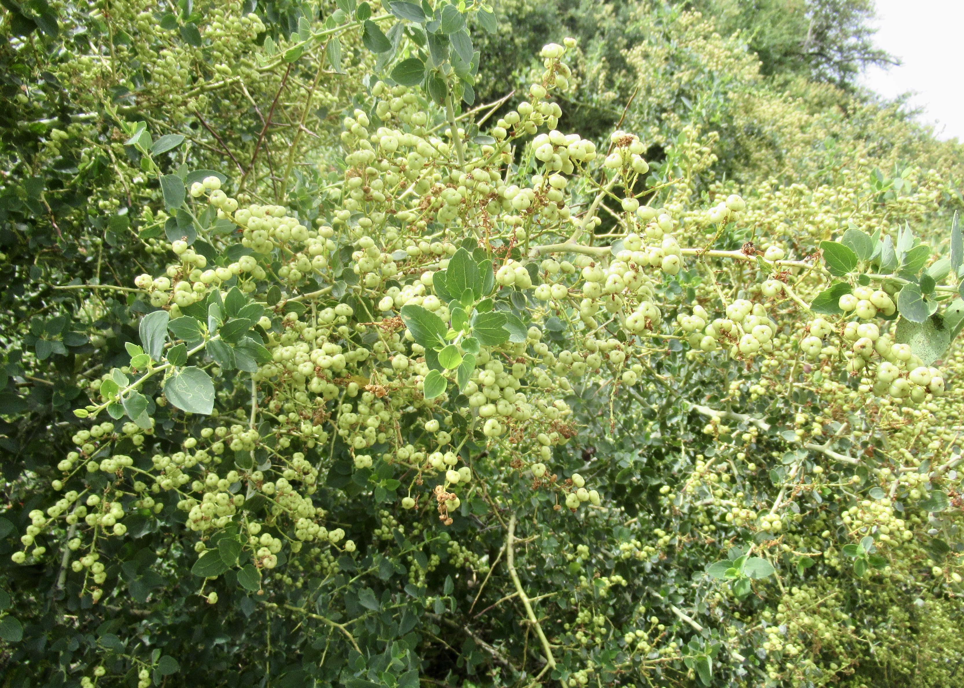
white berries...
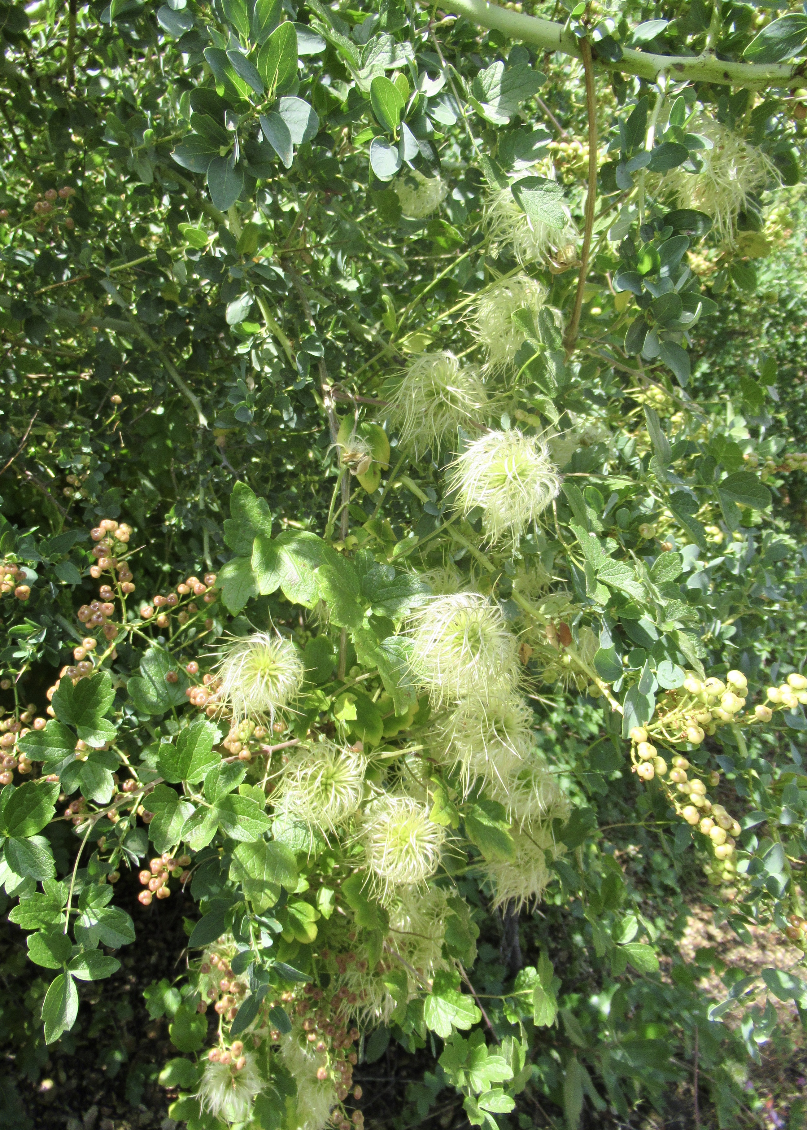
and hairy berries.

gettin' up above the fog

almost to the saddle

so much plant diversity on the north-facing slopes

fog down below

bees swimming in that pollen

'pears as though I can ride for a bit now

valley still socked in

but blues skies above
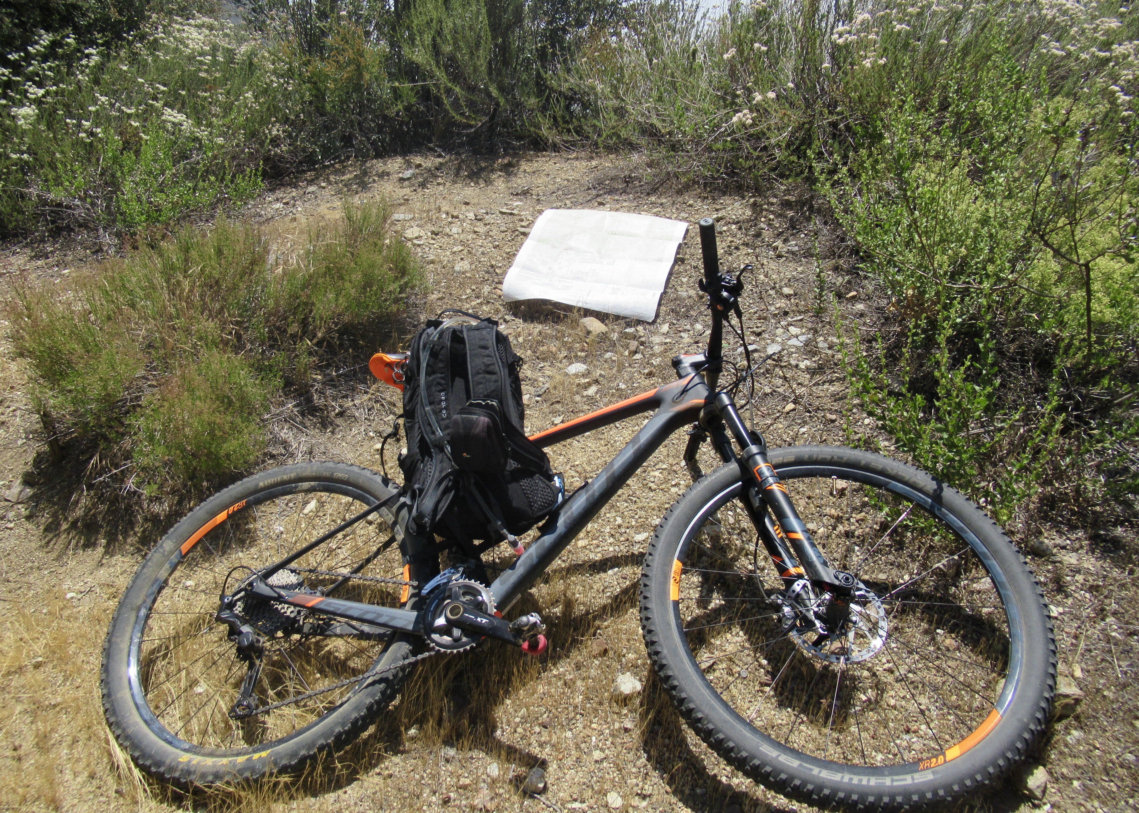
wide spot in the trail - snack time, and a look at the map

one of the more valuable things I learned in scouts - how to read a topo map. i don't need no gps

well into the first set of switchbacks by now. Sunset Peak in the distance

little bit higher, but time to turn around

the valley is clearing a little. one of these days i want to ride that sinuous road down there. i think the Hakkalugi would be up to that

i think that is Ontario Peak starting to come into view...

and that, i believe, is Ontario Peak

checkin' in out

hmmm, i still look like i'm into it, maybe i should have gone on?

little rockiness headed down

the darker patch is a wooded area of West Cucamonga Canyon, with Frankish Peak on the left - that's a nice ride

Ontario Peak, again

West Cucamonga Truck Trail, again

West Cucamonga Truck Trail - that's a nice ride (or will be when it is reopened in April 2021

looks like i'm headed back up, but i just turned my bike around for a look at the peaks


back at the third gate

you know, now that i look again i think the lower portion of that spur road is more like 45%

funny, i did a post quoting a portion of this poem not long ago, and suddenly there is was, on the sidewalk...

You know what? Forget what ever I said at the top of this post. I'm almost ready to go again. Just remind me to bring some moleskin for those blisters.
Comments
Post a Comment