Velo course: Heights of Angeles Crest Highway...
In my younger days, and when I lived closer, I rode the Angeles Crest Highway (ACH) on many occasions. Normally those rides involved starting at home and riding to the bottom of the Highway (or taking the alternate ascent via Big Tujunga Canyon Road) and climbing up to Mt. Wilson, Newcomb's Ranch or Mt. Waterman.

in the shadow of a cloud, easy riding leaving town

Big Pine Lodge (US Forest Service) closed
Now that I live further east though, it is not so easy to get there by riding out the front door. It is, however, a fairly simple thing to do a ride which takes in, what I consider, the most scenic portion of the ACH, and which also happen to be the highest in elevation. Starting from the mountain town of Wrightwood, and riding west as far as Cloudburst Summit / Mt. Waterman, makes for a 55 mile ride and takes you over 7900' Dawson Saddle at the Highway's highest point. On clear days, views to both sides of the road are spectacular. The steep drops into the desert to the north on one side, and the somewhat more gentle slopes and drainages down to the urban areas on the south side of the San Gabriel Mountains on the other. Views south can extend all the way to the Pacific Ocean and Catalina Island.

Mt. Baden-Powell

depths of Vincent Gulch

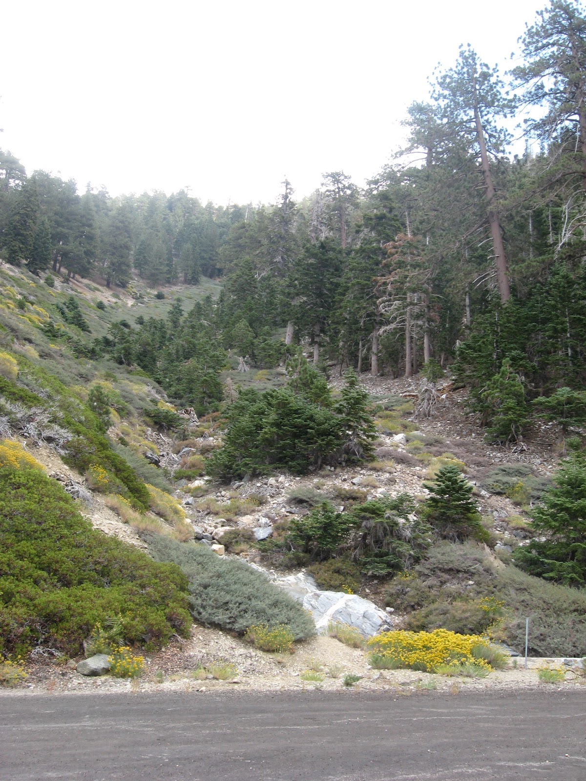
desert-side of the mountains
This is a great ride for any time of the year, other than when there is snow and ice on the roadway. Don't take anything for granted though, water is scarce, temperatures, though much cooler than the desert and valleys far below, can still be quite hot during the summer, small rockslides onto the roadway require almost constant attention, and autumn thunder/electrical storms can be treacherous. Though the ride starts out at just under 6000 feet elevation, and grades never really seem to go above 6% to 8%, the succession of climbs gradually wear into your legs.

first pass over Dawson Saddle - all is good

the rock outcrops kind of match the clouds

the tunnels
As you might expect for a mountain ride the climbs are generally long, and thus so are the descents. Never mind the grades, there is so much room to let 'er run that the 30mph mark comes in no time and 40mph could tick by with little additional thought or effort. Since I was there for reconnaissance and to acquire photos for this post, I never reached any of the higher speeds as I was constantly stopping to take a photo of one view or another. There is a lot to see. Take the numerous rock and snow chutes, particularly those scarring the flanks of Mts. Baden Powell, Burnham, and Throop, for instance. These must be something to see during the spring melt. Glance up some of them and you will see huge boulders, massive trees or the fractured remains of them, New York Mets baseball caps. Anything and everything gets pushed downslope.
Point is enjoy the ride, take as little or as much time as you have. There is something new to see with every turn of the head, or bend in the road. It is also likely that the wind will have something to say about your speed. It can get windy, and there were plenty of times when I let it get to me. The wind and I had a running argument for much of the ride; insults and curses were freely flowing both ways. If it slammed into me while climbing I just ground it out. If it tried to bowl me over while descending I just backed off until it passed. But, it still pissed me off. I am not familiar enough to speak of everyday conditions, and I suspect that the winds may have been a bit worse due to the brewing storm.

the last bit of center line before Cloudburst Summit

contemplating the climb back

that cut on the distant slope is the closed portion of Hwy 39

building and getting darker
forest and meadow on the mountainsides

things seem more massive up there

one climb to go - looking a little worried at all the crashing and flashing in the sky over that way

view towards Mt. Baldy from Vincent Gap

that distant ridge rising and disappearing into the clouds is Mt. Baldy (from Inspiration Point)
One more thing to consider: An alternative, and I suppose ideal way to do this out-and-back, would be to add the short distance (but much more climbing) and descend from Cloudburst Summit to Newcomb's Ranch. There you can rest and replenish at the cafe before the long grind back. But that's for another time, and probably best done with a group to help the miles pass. Total distance ended up as 54.55 miles with 5763' of elevation gain. Purportedly water can be had near the turn-around at the Buckhorn Campground (not however at the nearby Buckhorn Day Use Area). I did not check, so either confirm with the Forest Service, or better yet, come prepared.

back at the town center

the tiny Wrightwood Cyclery

Comments
Post a Comment