Velo Course: Foothills Gravel Grovel
So, I have been meaning to add this gravel ride to the Velo course for some time now, and with snow on the mountains from the storm of two nights ago adding some extra drama to the scenery, this seemed like a good time. Most of the rides I do locally, tend to head west from town, gravel rides are the one exception, and they invariably head east right up along the foothills. This one could very easily be turn into an out and back along the same route, and would be very satisfying as such, but for this Velo course edition I wanted to make it a complete loop. Almost entirely on dirt roads, dirt trails and multi-use trails, road sections are very minimal.
The opening sections of the route traverse that interface between wilderness and urban area, little-used dirt roads and trails in the drainage areas below and between two canyons - San Antonio and Cucamonga, before dropping down into the city and circling back along the Pacific Electric Trail.
Route specifics: As Velo course routes in the area often do, this one starts at the Vons shopping center at Baseline and Mills. Head north on Mills toward the mountains, turning right (east) about three-quarters of a mile up on Pomello. Take Pomello all the way to the yellow gate and make your way through, over or around it and into the San Antonio Spreading Grounds, owned by the Pomona Valley Protective Association, whose mission is to preserve the land for purposes of ground water recharge. You could take any of the gravel roads in this area and, as long as you continue to head toward the mountains and dam, and do not cross the concrete channel, you will end up at the same spot below the dam's spillway. Anyway, the Velo course route crosses the small bridge and takes the left road which twists and turns on its way. There are a few junctions, but as long as you take the left turn at each you'll get to where you want to go. At the spill way cross over the channel and go left up the paved service road, pass around another yellow gate and go right up to the base of the dam, turning right on the paved road running east along the foot of the dam. At the end, make the 180º bend and climb up to the top of the dam. Take a moment to enjoy the views, then go right along the dam to the chainlink fence and gate. You could hop it and risk ripping those expensive bibs, but I prefer to heft my bike onto my shoulder and hoof it downhill along the fence to where it ends (it's not very far) and the hike back up the other side.
You are now on Mountain Avenue across which you can see the next section of dirt. Just out of sight is another yellow gate, go through it and onto the single track trail, which rolls up and down, in and out of some small canyons, and through a thicket of fig trees (very fragrant at certain times of the year). Don't deviate from the trail on any side roads; this narrower section of trail ends at another yellow gate - go through, or around, then left until you reach the paved road. Go right, down the road, but only until you spot the dirt route continuing on the other side - it happens almost immediately. This short single track section, eventually bends left and uphill, and becomes quite rocky, until ending at a paved access road for some hillside houses. Turn right down the road, cross a street or two, a couple more gates, while riding along side a concrete channel, sometimes on pavement, sometimes on dirt. Pass the avocado farm and you will eventually arrive at a perch above the rocky expanse of Cucamonga Canyon; go right and continue down along the bluff top toward the near distant dam. At some point you will need to cross the basin. The easiest way is to head down the service road just before you reach the dam, circle around at its base and head up the other side. Once at the top go down the paved road to the various trails in the wash; the trails get pretty rocky at times - rocks and I have an antagonistic relationship, but regardless of that this may be the most fun section of trail along the entire route. The trails, all of them, left, middle and right, all converge again at a rest area a short way down the wash. At that point cross the bridge and go right down the Cucamonga Creek Trail; the trail is paved but feel free (as most anyone with knobby tires does) to ride the dirt verge next to the paved trail. The Cucamonga Creek Trail ends at the Pacific Electric Trail. Go right when you reach it, taking it all the way back, west, through Rancho Cucamonga, Upland and into Claremont. When it ends there, continue straight along First Street, turning right into the Claremont Colleges, weave around up to Mills, and take it the mile or so up to Baseline and the start ride start point.

opening dirt in the spreading grounds

top of the dam looking up canyon to Mt. Baldy
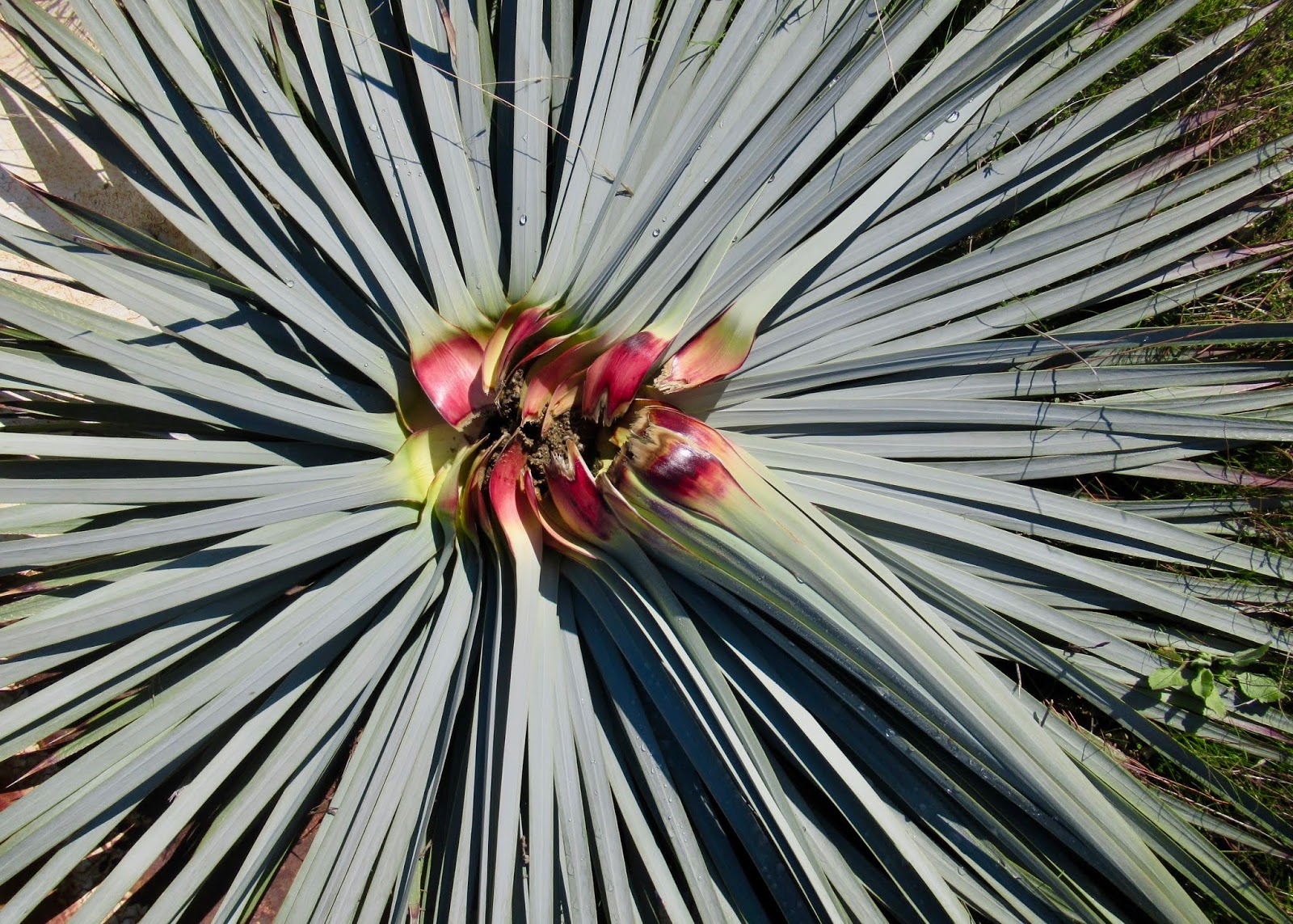
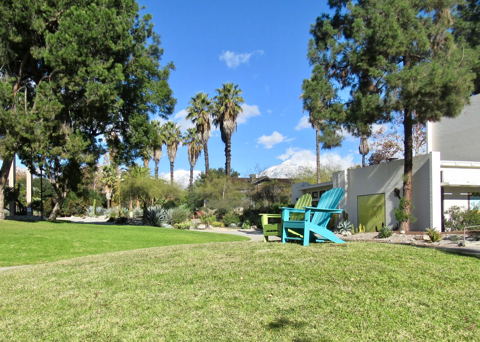
winter color

not the first rider through figgy thicket this morning

rain puddle

I only show this because that house has its own retractable dome observatory. cool.

pick your pavement or not

past the avocado grove

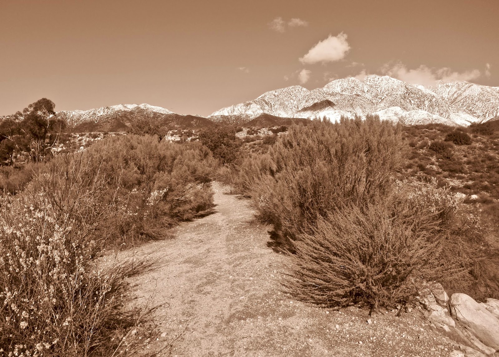
stop to look at the snowy peaks

the spreading grounds of Cucamonga Canyon, looking east

there's a mountain biker down there

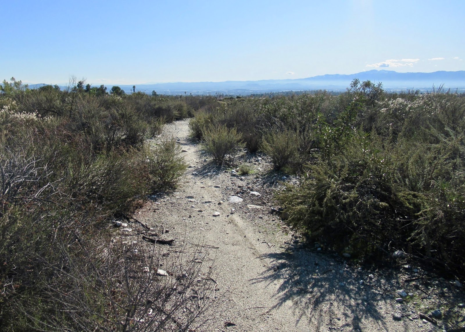
view to the south

view to the west, from whence you just came

view to the north

more mountain views


i wanted black and white, but my camera gave me sepia

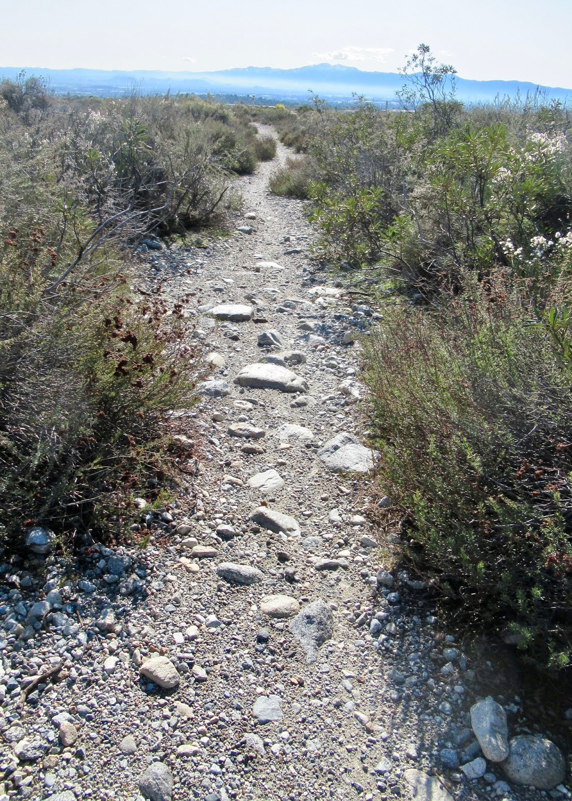
various trail views in Cucamonga wash...


a little rain makes for a little stream crossing


until you arrive at the rest area

along the I210 freeway


Cucamonga Creek Trail views...


end of the Cucamonga Creek Trail and beginning of the Pacific Electric Trail

Pacific Electric Trail views...


crossing the bridge into Claremont

a lap around the Pomona College Farm
with out last mountain view at the Mounds of Pitzer College
This Velo course, as detailed here, and shown on the map comes out at twenty-three miles with a mere 1486 feet of elevation gain. It is not an overly difficult ride and, perhaps that is what is so fun about it, you don't feel drained at the end. A longer version of this continues east from the rest area at Cucamonga Canyon; it adds another ten or so miles if I remember correctly, but probably more than doubles the elevation gain - watch for it to appear as a future edition of the Velo course.

Comments
Post a Comment