Claremont Hills Wilderness Park: Draw #4
Another of those bike and hike days, not what I originally intended, but a quick u-turn when the idea knocked me in the head, and there I was headed down the draw. Unlike the first three draws which were north / south in orientation, Draw #4 follows a west / east course, with its high point, the head of the draw on Johnson Pasture Road. The draw is one of the primary arms of Gail Canyon.
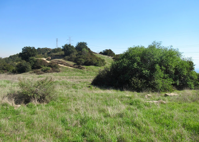
The draw is rather distinctly divided into two zones, a mostly upper grassland and an increasingly shrubby lower section with a tree canopy composed of oaks, eucalyptus, pine and at its mouth where it merges with Gail Canyon, a large cluster of sycamore. While the grassy upper zone is spotted with larger shrubs, including Rhamnus californica [?], a "line" of boulders part way down marks an abrupt transition to the shrub-covered lower portion of the draw. A second notable division separates the north and south facing slopes, with the north facing slope much more densely covered in growth.
Faint trails have long crossed the upper portion of the draw, which is mostly level, but quickly becomes concave. I followed one of the trails heading down the draw, past an unidentified rusting piece of metal and a couple sections of large diameter corrugated pipe, also rusted. The ground is pocked with rodent holes and spotted with small pieces of white quartz. Beyond the line of boulders demarcating the upper and lower portions of the draw, the trail, though still distinct, began to look more like a deer track as it wove its way around shrubs. The last really open area occurs about half way down the draw where a cluster of eucalyptus and another cluster of pines grow. I noted both clusters when examining Draw #2 which ends, merging with Draw #4, at this spot. There are two lengths of twisted, rusty water pipe on the surface in the shade of the pines. This is also where the draw's stream course becomes noticeable.
From the pine grove I followed the stream channel (dry, of course) around bunches of scrub oak, what I believe to be a ceanothus (possibly ceanothus greggii), small oak trees, and boulders until its course dug into a rock cropping with subsequent ten foot drop - it would be a small, yet nice waterfall if only there was a flow of water. Anyway, although I could make my way around to the bottom of the drop, there was no way to continue down along the stream bed which becomes choked with shrubs and more but smaller drops. From the waterfall the deer trace continued along the slope which became increasingly steep, corresponding to the draws' change from a "U" shape to a "V" shape. Ceanothus and Rhamnus were still prevalent on the slopes, but new they were joined by much chamise and a little sage.
Draw #4 was interesting for the variety of its flora, the "surprise" waterfall, and the evidence of human activity in its upper half. As I got closer to the draw's junction with Gail Canyon it became more difficult to push my bike through the cover of shrubs and along the steep slope. Eventually I turned back, but hope to explore the mouth of the draw when, at some future point, I traverse Gail Canyon.
line of boulders dividing upper and lower halves of the draw
the line of demarcation
shallow stream bed, and oaks
scrub oak
water pipe
a faint trace of trail
over the edge
dry waterfall
dry waterfall
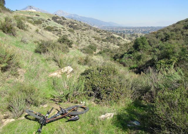
what this shows is the more open south-facing slope, and the more dense shrub growth on the north-facing slope
as close to sycamore confluence as I got, time to turn around
sage
along the steep slope
another view at the waterfall
quartz
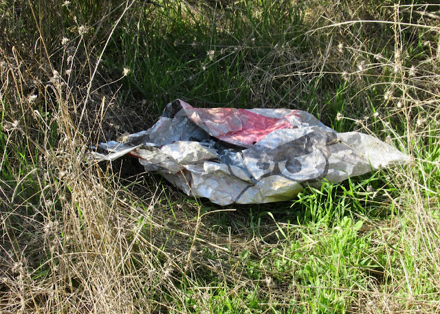
ubiquitous trash of the mountains - angry bird balloons
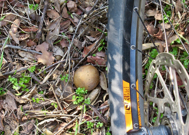
a lot of oak galls
those lofty pines are right in the center, the line of boulders is there too
the line of boulders is there, and the division between grassy upper draw and shrubby lower is pretty clear


Comments
Post a Comment